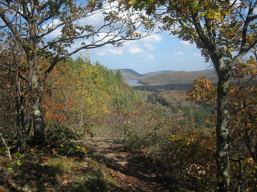
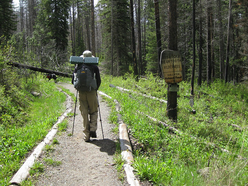
Mike and I were poring over our the excellent Absaroka Beartooth from Beartooth Publishing looking for a trail of decent length that stayed below 7,000 ft. (2133 m) elevation as we expected this was the approximate snow line. We chose a trail along the West Fork of the Boulder River that could be hiked for over ten miles in all while staying below the magic 7k topo line. We were pretty certain this was snowline as we had hiked into the East Fork of Sage Creek the week before - a drainage that butts up against the West Fork and therefore should have represented similar weather systems.
June 5th, U.S. National Trails Day (and my brother's birthday) we set off from Bozeman around 9:30 am stopping to acquire 375 mL of Jameson whisky on our way out of town. The weather was gorgeous and the 50 mi (80 km) drive relaxing.
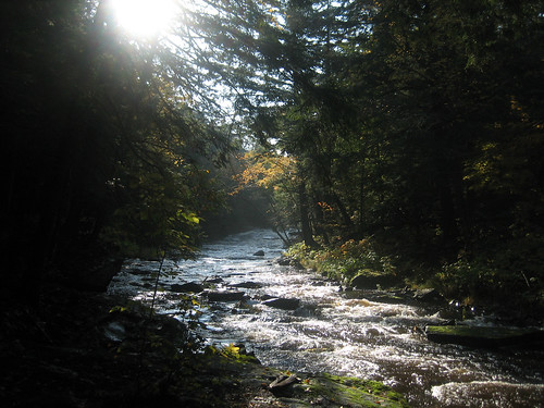
I had hiked this drainage in 2008 as part of the Backpacking Light Wilderness Trekking III expedition (a trip report I plan to finally write this summer) 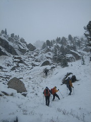 so I was familiar with some aspects of the hike although my previous trip was in October and there was knee-deep snow covering everything. The sun was out but the previous week's weather had created pretty muddy trails and the snowmelt and rain had the tributary creeks flowing like crazy.
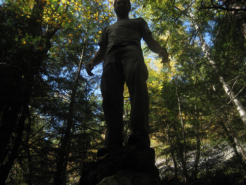
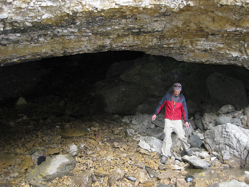
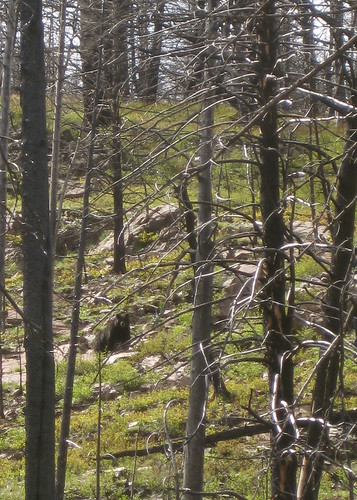
We set off to a nice pace with Jax dog often running off to chase Elk, deer, marmot (one of which we're pretty sure he mortally wounded), and the like. At one point in the trip Mike stopped and called out to me to stop and look up the hill. To our delight a black bear was walking across the hillside and very visible to us through the forest denuded of vegetation by a forest fire.
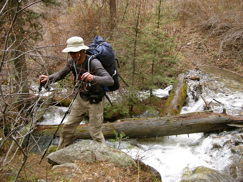
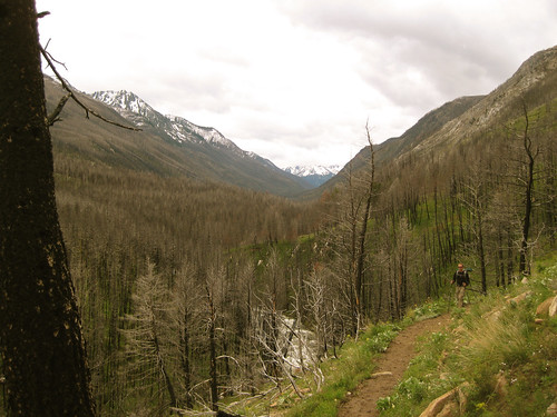
We hiked about nine miles to a spot on the map called Beaver Meadows which was situated just below 7,000 ft. It was a gorgeous, grassy, flat island in the middle of the river and although we'd forded four other fast flowing tributary creeks and had spent half the day walking through ankle deep, muddy trails we were wary of crossing the fast, cold, and deep water of the river.
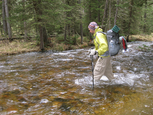
Our shoes and socks had dried from walking to a state of warm dampness and as it was approaching 17:30 we weren't about to completely soak ourselves again so we stripped our pants and shoes off and made the crotch-deep crossing swiftly in an attempt (a failed one) to stave off numbness. Upon reaching the other side we quickly did some calisthenics to warm up and then set off to hunt the island for fire wood.

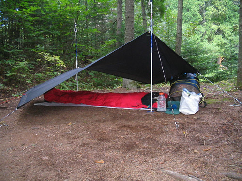
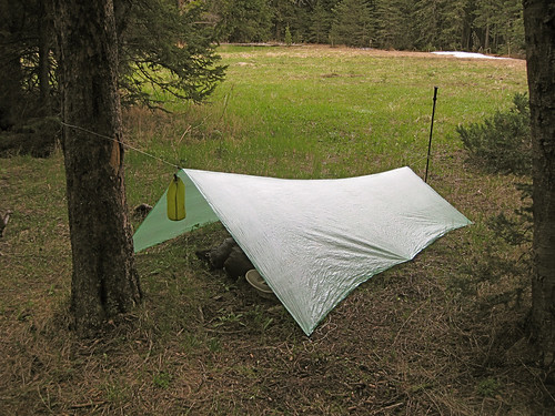
Temperatures that evening only got down to 41 deg F (5 deg C) so we both slept soundly listening to the pitter patter of raindrops on Mike's Oware Cat II and my BPL Stealth Nano tarps. We were camped only a stone's throw from the soothing sounds of the rushing river.
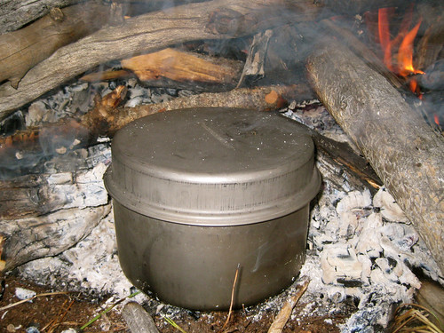
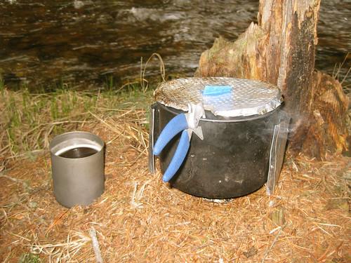
In the morning we found solace from the falling rain under the canopy of low hanging conifer boughs and cooked up breakfast and coffee on my trusty Whitebox Stove an AntiGravityGear Two Quart pot.
After we began to warm up after re-fording the river back to the trail the sun ended up coming out making for a pleasant journey back down river to the trailhead, car, and waiting beer and potato chip stash.


West Fork Boulder River, Absaroka Beartooth Wilderness